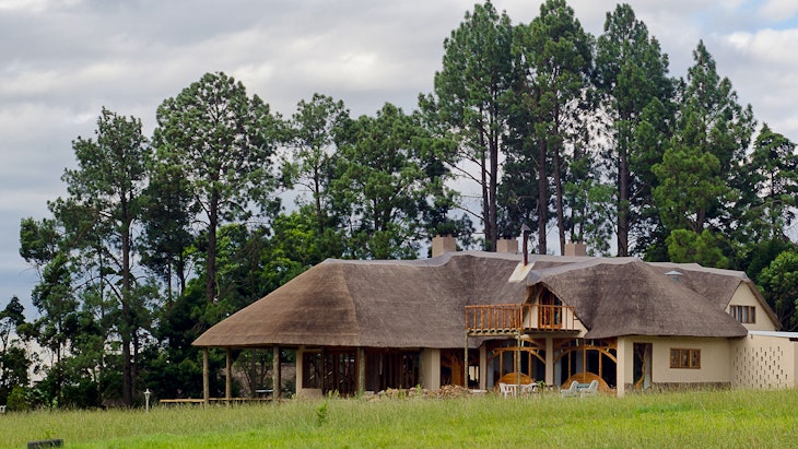
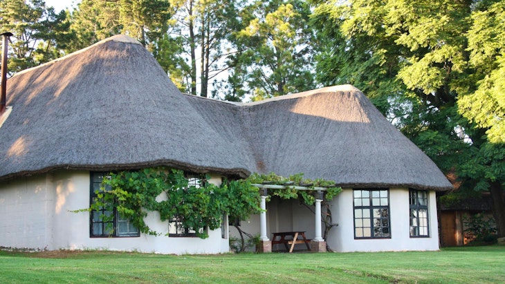
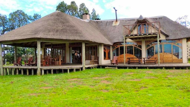
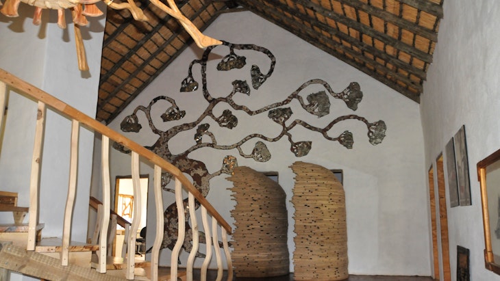
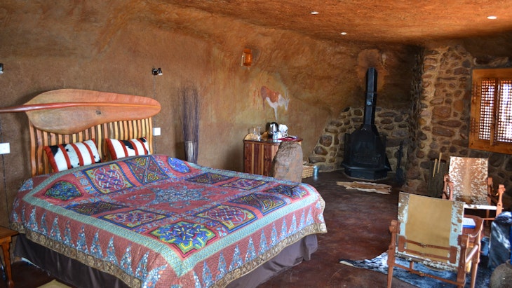
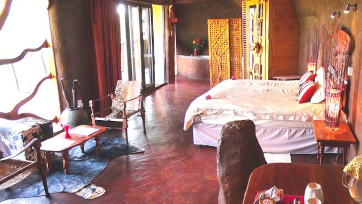
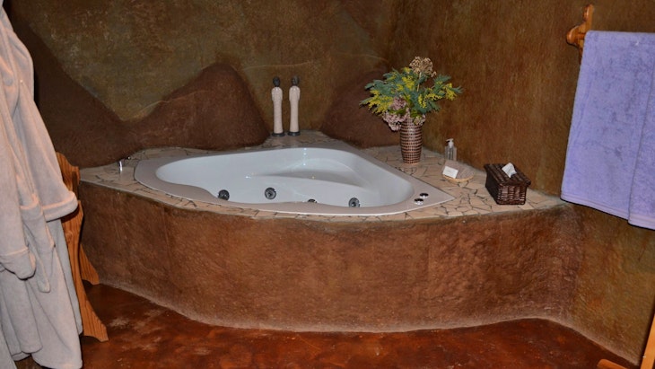
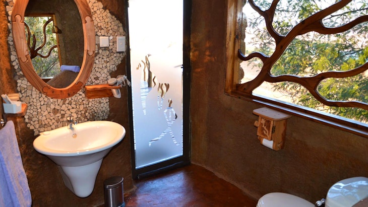
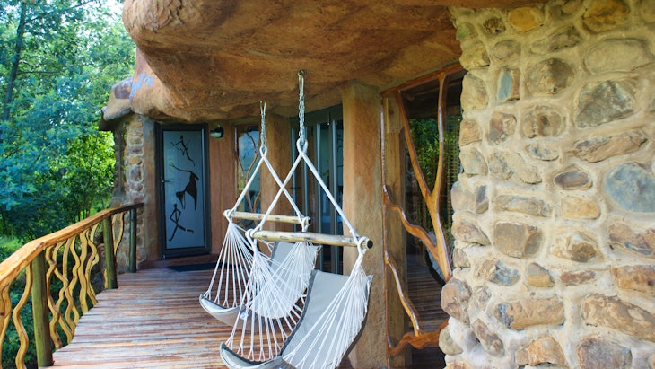
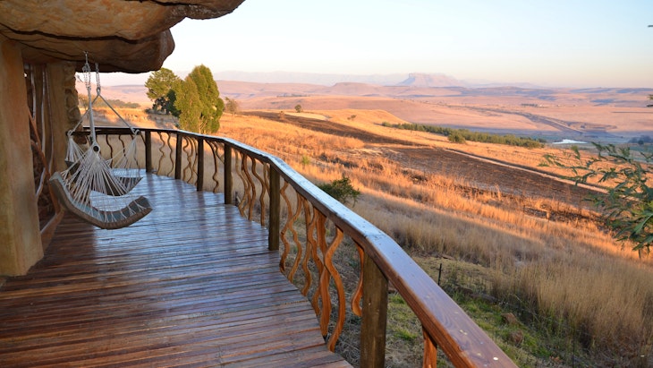
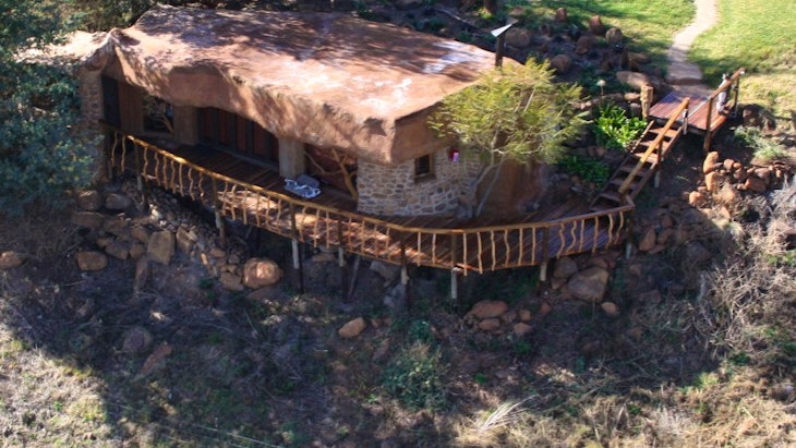
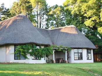
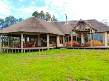
Antbear Drakensberg Lodge
8 reviews
Lodge
Location
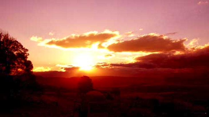
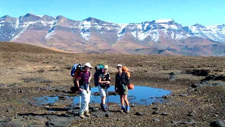
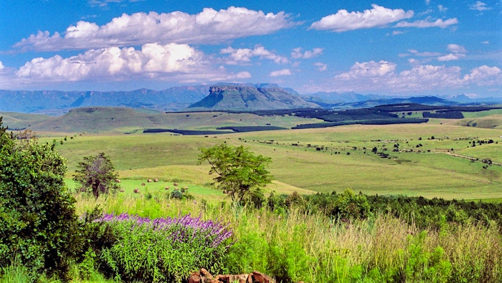
- Guests think Antbear Drakensberg Lodge is in a good location
- Fernhurst Farm, Moor Park/ Giants Castle Road, Estcourt, 3310, KwaZulu-Natal
- Capacity: 2 people
-
Check-in: 13:00 to 19:00
Check-out: 10:00 - Address: Fernhurst Farm, Moor Park/ Giants Castle Road, Estcourt, 3310, KwaZulu-Natal
- All ages welcome


SUBSCRIBE
TO GET AWESOME ACCOMMODATION SPECIALS!
SUBSCRIBE FOR AWESOME SPECIALS!